 -
- 
-
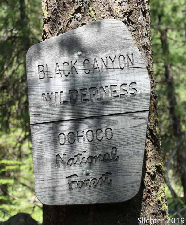
The Black Canyon Wilderness is a remote 13, 400 acre wilderness at the east end of the Ochoco National Forest. It generally encompasses the entire drainage of Black Canyon Creek as it drains east to spill into the South Fork John Day River. Since the wilderness is in a drainage, the elevation varies from 2850' at the east end to 6483 in the west. At some point, trails into the wilderness are steep with a lot of elevation drop as one hikes down into the wilderness from trailheads on the western periphery.
The area has been lightly used, partly due to several recent wildfires that burned through creating hazard snags which continously fall after wind events or due to high snow load. Access was thus restricted to most users although some hardy backpackers and autumn hunters still used the area. We noticed that at least some of the trails into the wilderness had recently been cleared in the spring of 2019. Not knowing whether this effort was performed by a USFS crew or the Backcountry Horsemen, but we send our thanks! If visiting the area, I'd probably contact one of the recreation staff at the USFS office in Prineville to inquire about current trail conditions into the wilderness.
Carry plenty of water or a water filter during a hike into the wilderness. Trails with southern exposure can be quite hot on mid-summer days due to the lack of trees. I've heard rumours of rattlesnakes at some point in the canyon.... something to especially consider if you hike with dogs.
Note: The twelve mile long Black Canyon Trail #820 has at least a dozen water crossings of Black Canyon Creek which can be difficult due to rushing water from mid-winter into early summer.
Note: We've run into a few people who have had vehicles broken into at trailheads on this forest during weekends (especially holidays), so it's probably wise to not leave a vehicle with any kind of gear visible inside at a trailhead during a long day out in the field, or overnight if backpacking!
Allow for almost a two hour drive to access Black Canyon Wilderness trailheads when arriving from Prineville.
It's probably faster to access the South Prong Trailhead via Oregon Highway 380 and several county roads from Paulina, OR. The western and northern trailheads into the wilderness can be accessed either via FS Roads 42, 12 and 38. One can also drive east from Prineville on US 26 and then head south into the forest via FS Road 12 (signed for Barnhouse CG from the highway) and then east on FS Rd 38. The Black Canyon East trailhead is located about 12 miles south of Dayville, OR.
For more specific info about access to a specific trailhead, visit the Black Canyon Trail #820 link below.
The trailheads into the Black Canyon Wilderness include: South Prong, Black Canyon West, Boeing Field, Coffeepot, Kelsey, Payten, Cottonwood, and Black Canyon East. During the summer of 2019, we noted that some at the western edge were poorly signed and difficult to find.
I'll add more info here if I get a chance to revisit other trailheads in the future.
Wildflowers at Boeing Field Trailhead & the Owl Creek Trail #820A
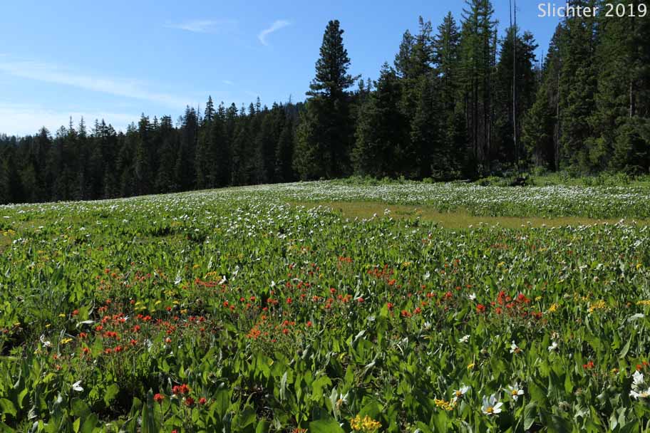
Wildflowers at Mud Springs Campground & along the South Prong Trail #821
Black Canyon Wilderness - General Ochoco National Forest website info about the wilderness with a pdf trail map and links to info regarding trails and trailheads.
Black Canyon Trail #820 - Ochoco National Forest webpage with links to information regarding the trails into the wilderness and directions to the trailheads.