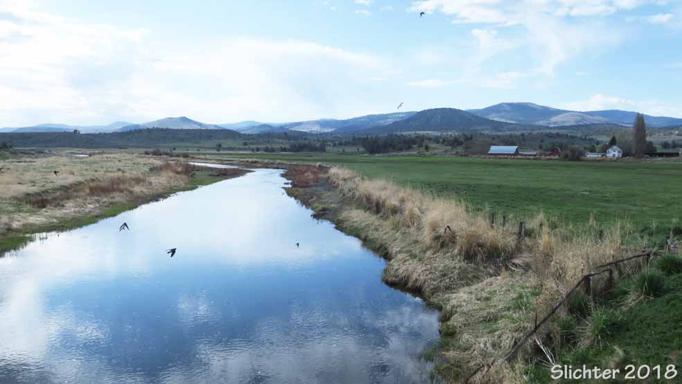
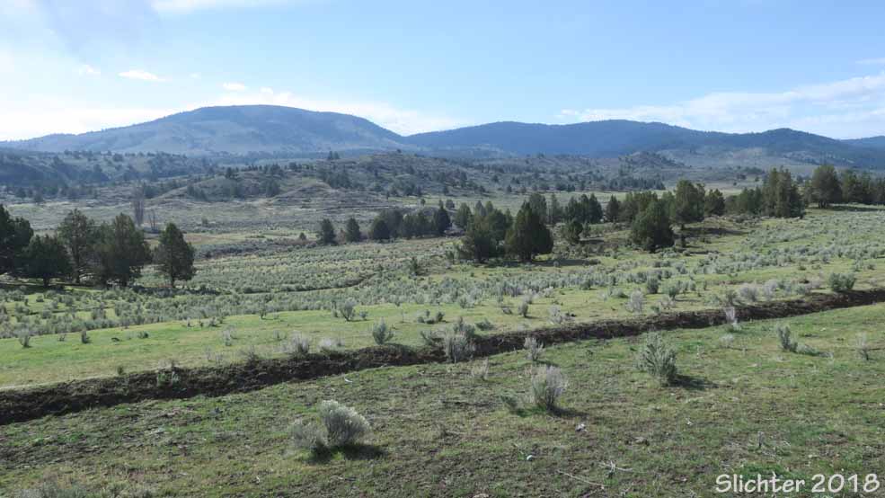
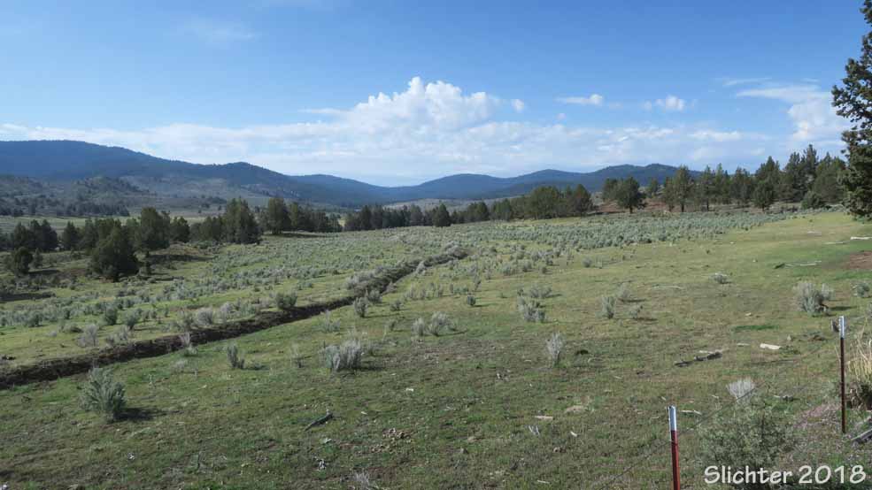
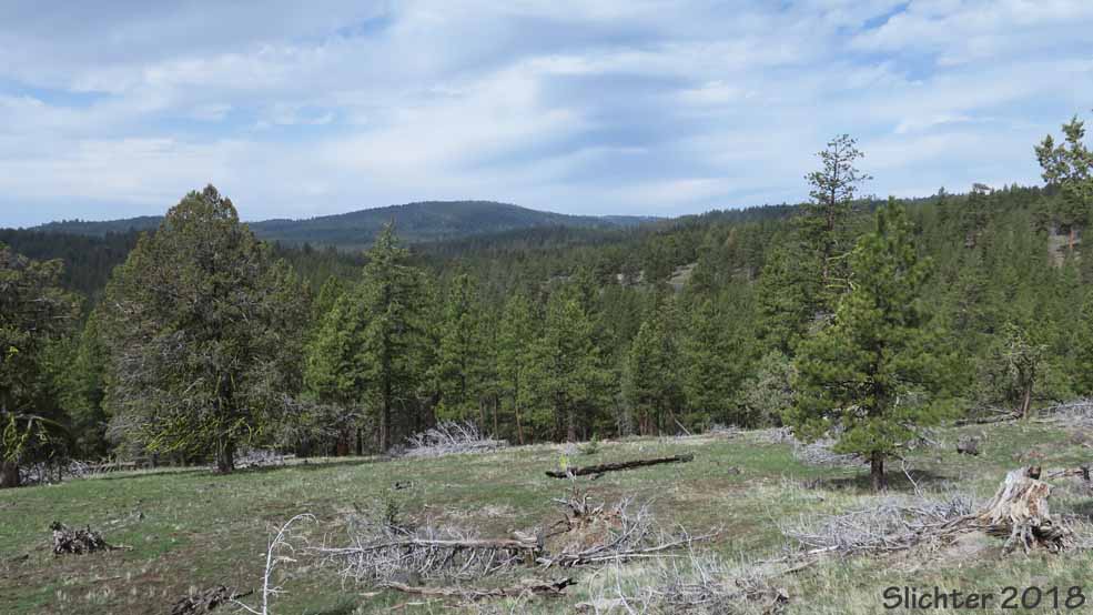
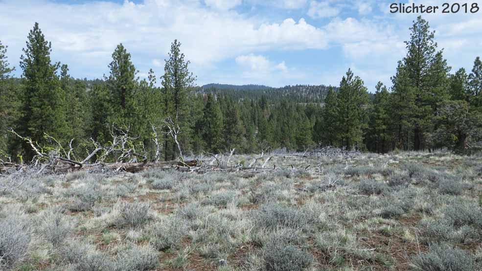
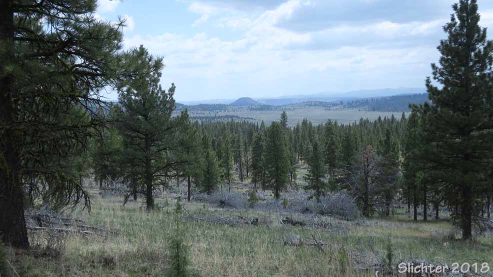
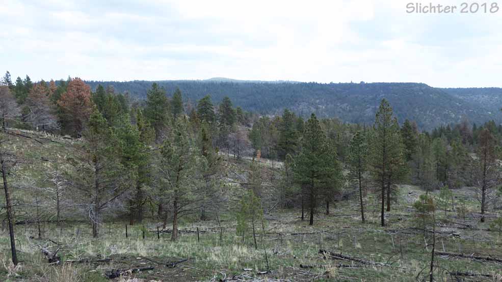
If you like nature and solitude, the Maury Mountains is a largely unknown area for hikers, birders and wildflower lovers to explore in central Oregon! It is a small mountain range about 20 miles long east-to-west and about 8 miles deep located south of the Ochoco Mountains. Much of the land inside this portion of the Ochoco National Forest is mixed douglas fir-ponderosa pine forest on the north-facing slopes and western juniper-ponderosa pine forest on the south-facing slopes with intermittent riparian meadows and rocky balds. Drake Butte (6266') and nearby Tower Point Lookout (~6000') are the high points in the forest.
There are 4 campgrounds and a number of primitive camps along the main roads (Roads 16 & 17), but the area sees few recreational visitors other than agate hunters, fishermen, and hunters. Several nearby ranchers have grazing permits, so the area will see at least some cattle use from early summer on. The campgrounds are fenced, so hopefully cattle free.
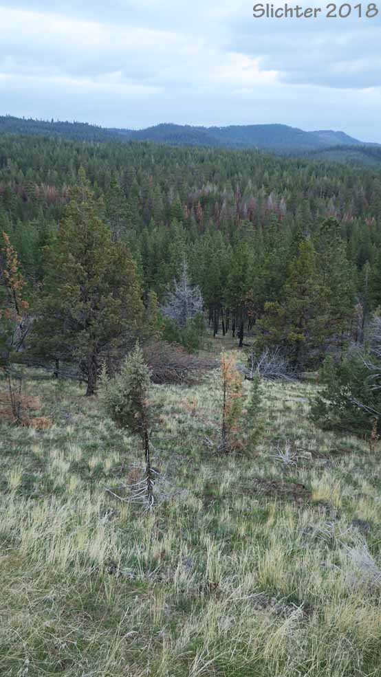
The only trail in the Maury Mountains is the Hammer Creek Trail #840 which is about 8 miles long. It has recently seen only infrequent use so it is not maintained, and actually quite hard to find the trailhead for. I'd probably recommend short hikes from the main roads into meadows that look inviting for flowers, scenery or birds, or drive some of the side roads and look for less-used tertiary roads to hike.
You should find lots of solitude in the Maury Mountains, and the birding is good. There are about 400 species of plants that can be found between Highway 380 and the southern edge of public lands in the Maury Mountains. See plant list below.
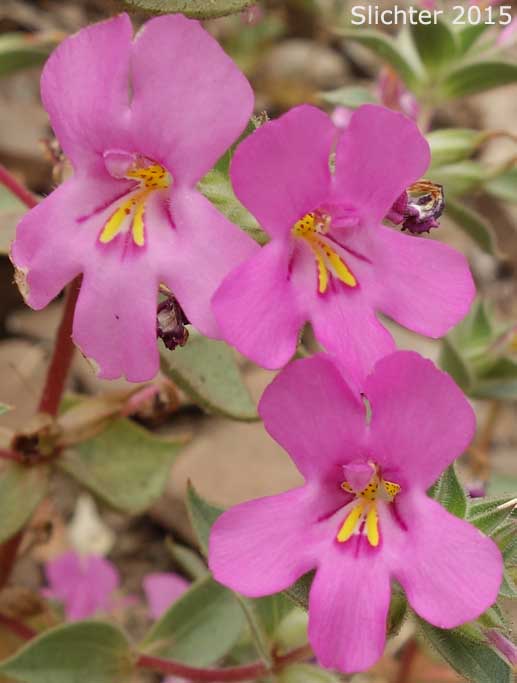
Expect to find such plant species as Columbia monkshood (Aconitum columbianum), nettleleaved horsemint (Agastache urticifolia), orange agoseris (Agoseris aurantiaca), pale agoseris (Agoseris glauca var. glauca), tapertip onion (Allium accuminatum), twin arnica (Arnica sororia), sagebrush mariposa (Calochortus macrocarpus ssp. macrocarpus), desert paintbrush (Castilleja chromosa), Wyoming paintbrush (Castilleja linariifolia), elk thistle (Cirsium scariosum), bushy birdbeak (Cordylanthus ramosus), fennel spring parsley (Cymopterus terebinthinus v. foeniculaceus), threadleaf fleabane (Erigeron filifolius), sticky geranium (Geranium viscosissimum var. incisum), Columbia cutleaf (Hymenopappus filifolius), crag aster (Ionactis alpina), scarlet gilia (Ipomopsis aggregata), western blue flag (Iris missouriensis), bitterroot (Lewisia rediviva), prickly phlox (Linanthus pungens), silvery lupine (Lupinus argenteus var. argenteus), tufted evening-primrose (Oenothera cespitosa ssp. cespitosa), woolly groundsel (Packera cana), fuzzytongue penstemon (Penstemon eriantherus var. argillosus), lowly penstemon (Penstemon humilis), showy penstemon (Penstemon speciosus), sticky starwort (Pseudostellaria jamesiana), Oregon campion (Silene oregana), woolly groundsel (Stenotus lanuginosus), gray horsebrush (Tetradymia canescens), showy townsendia (Townsendia florifer), Cusick's clover (Trifolium eriocephalum ssp. cusickii), and hyacinth cluster lily (Triteleia hyacinthina).
 -
- -
-
 -
- -
-
 -
- -
-
 -
-  -
- 
Access:
From Prineville, travel east on Highway 380 about 26 miles to a junction with FS Road 16 (Crook County Road 224) about a mile east of Post, OR. Turn right and proceed south on FS Road 16. Until you enter the Ochoco Forest, the lands behind fences here (or to either side of the road if unfenced) are private, so wait until reaching the forest for explorations away from the road. Road 16 loops eventually turns east and one can drive a loop either returning north to Highway 380 by just following Road 16, or by turning north on FS Road 17. You can travel an additional 6-7 miles east on Highway 380 to access the eastern approach to Road 16 and several of the campgrounds listed below.
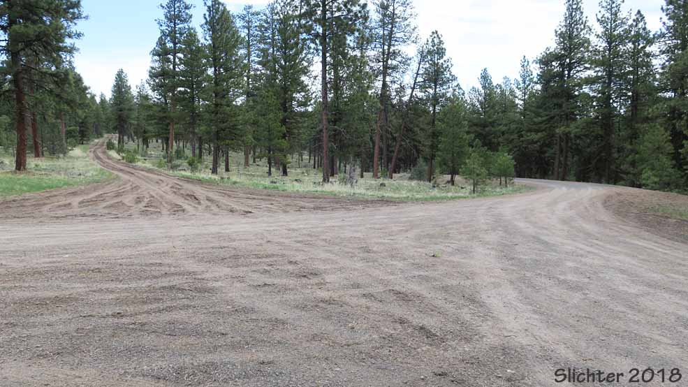
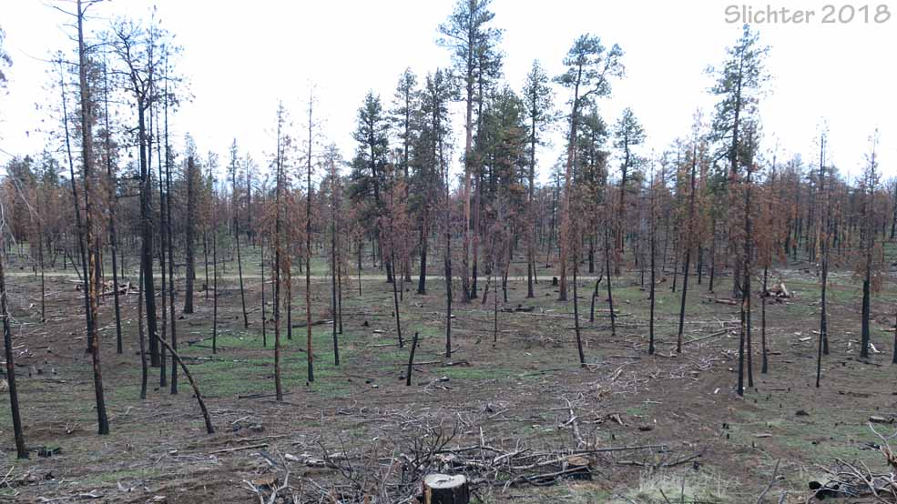
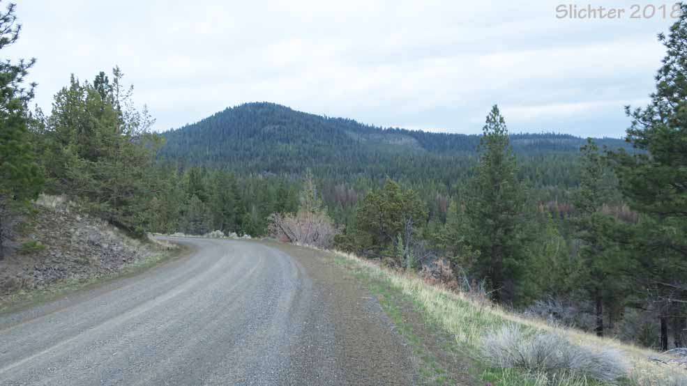
Forest Roads 16 & 17 provide good access to the crest of the Maury Mountains. Both should be well-gravelled and graded up to the crest of the mountain range, although the eastern approach via the eastern portion of the FS Road 16 loop is less gravelled once uphill of the forest boundary, so it may be more greasy or soggy early in the spring or after prolonged late spring-summer rain events. I found that Road 16 had sections of very bumpy washboarding along the crest of the mountains especially between the junction of Road 1750 in the west and Road 17 at the center of the mountain range.
Hammer Creek Trail #840: Travel southeast of Prineville on Highway 380 to FS Road 16 about one mile east of Post, OR. Turn right onto Road 16 and drive south about 7 miles to the parking turnout about 2 miles south of the forest boundary. The trailhead is currently unsigned so you have to look hard! The 8 mile long trail is currently unmaintained so it may be difficult to follow the route (overgrown with brush and fallen trees). The area is open range, so there will be a possibility of cattle on the trail from late spring on. Note: I'd probably not recommend this trail to most hikers unless they have plenty of patience and they are good at route finding (and have a gps to find their way back to their vehicle if they completely lose the faint trail!).
The Elkhorn Campground (4 campsites, picnic tables, fire rings, waste water deposit vault, no potable water, 1 vault toilet, no fee) is reached by driving south of Highway 380 (32 miles SE of Prineville) on FS Road 16 for about 5 miles. The campground is on the left, just south of the Ochoco Forest boundary. The Maury Mountain Agate Beds are located nearby.
The Wiley Flat Campground (5 campsites, picnic tables, fire rings, no water, 1 vault toilet, no fee) is reached by driving Road 16 about 12 miles south of Highway 380 to a signed junction with FS Road 16-400. Turn north onto Road 16-400 and at a large ponerosa in the road, bear left and drive another half mile. A stream with a riparian area full of spring flowers passes through the campground.
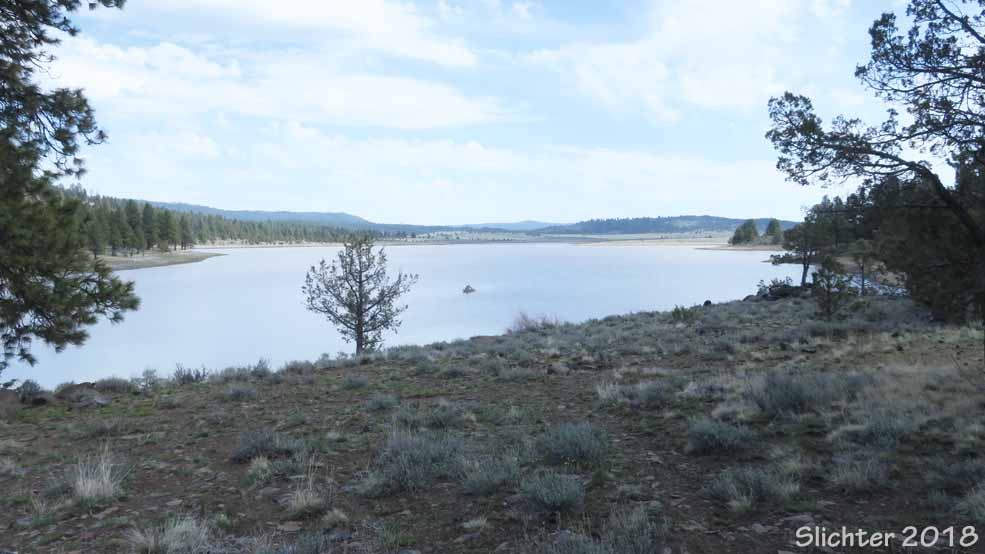
The Antelope Flat Reservoir Campground (fee, 25 campsites, boat ramp, picnic tables, fire rings, potable water via hand pump, 3 vault toilets) is reached by driving east on Highway 380 to FS Road 17 (signed as Antelope Reservoir Junction).The day use area has plenty of parking, a boat launch, vault toilet and at least 2 picnic tables. As far as I can tell, the day use area requires no fee. From Highway 380, turn right onto FS Road 17 and drive south about 12 miles to a junction with FS Road 17-600. Turn left onto Rd 17-600 and head towards the campground and day use area at the reservoir.
The Double Cabin Campground (3 campsites, picnic tables, fire rings, 1 vault toilet, no water, no fee) is reached by driving east on Highway 380 about 32 miles to a junction with FS Road 16. A small stream passes through the campground and a large pond and sedge meadows is about half of a mile southeast of the campground and accessible via FS Road 16. Turn right and drive south about 12 miles along Road 16. Turn north onto FS Rd 16-350 and drive less than a mile to the campground. Double Cabin pond and streams are nearby.
Comprehensive Plant List for the Maury Mountains (and roadsides along FS Roads 16 & 17 south of Oregon Highway 380).
April 27, 2018: Antelope Flat Reservoir Recreation Area, Maury Mountains (Ochoco National Forest)
April 27, 2018: Forest Road 16 loop (beginning with the Newsome Creek Road off Oregon Highway 380 and returning to Highway 380 via Drake Creek Road), Maury Mountains