 -
- 
-
Sugar Creek Campground is a fairly large campground in open ponderosa pine forest located at the southeastern corner of the Ochoco National Forest. There are 17 campsites, three of which are ADA accessible. Each site has a picnic table and fire ring. There are two vault toilets and two water spigots with good water. The campground is generally open from May 15 through December 1st. Access the rest of the year may be restricted due to nesting bald eagles. Use is moderate during midweek with the campground nearly full on weekends. Expect a full campground from Thursday night through Monday every holiday weekend during the late spring and summer. Since it has water, volunteer groups may stage from 2-5 nights at this campground when working in the area, so it doesn't hurt to contact the Ochoco NF Ranger Station in advance if you plan to camp here. We did run into such an event, although we were already camped there. They did go through and block off a number of campsites to keep others from using them until all their volunteers arrived (We do this with FS backing when volunteering to do rare plant monitoring, so it's a common practice.).
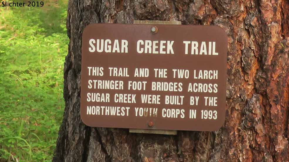
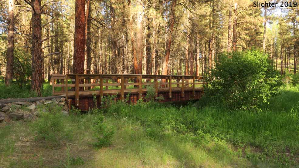
The campground is in thinned ponderosa pine forest and is nicely shaded during sunny summer weather. Small Sugar Creek runs down the western edge of the campground and expect young kids to be playing in the creek most days from mid-June on. An ADA accessible trail loops through the campground and includes 2 sturdy bridges put in when the forest had more money. It's lightly used and would need to be raked before wheelchairs can realistically use it. There is a day use facillity off FS Rd 58 on the other side of the creek with covered shelter, vault toilet, picnic tables and barbecue pits which can accomodate a large group.
There are a number of wildflower species adapted to riparian and open forest habitats in the campground. Additional flowers and shrubs can be viewed by walking north of the campground and across FS Rd 58 where one can hike up into the shrublands and scablands. Additionally, one can drive north along FS Road 5820 or east along FS Rd 58 to find nice wildflower meadows and scablands from late May into early July. FS Rd 5820 can be used to access Boeing Field and Spanish Peak after the snow melts out while one can drive to the SE corner of the forest on FS Rd 58 and then take FS Rd 5840 north to Mud Springs Horse Camp and the trailhead for the South Prong Trail #821. All the afforementioned roads are good quality roads.
Note that the Ochoco National Forest map indicates that there is a ranger station several miles east of Sugar Creek Campground at Rager. However, much to the consternation of local residents, it was closed a number of years ago and most of the major decommissioning and removal of builings at that site was finished in 2019.
Additional campgrounds in the area include: Salter's Cabin and Wolf Creek (not open in June 2019 due to forest thinning - check the forest service in 2020 about their status), Mud Springs Horse Camp, Frazier Campground. It didn't look like there were hotel accomodations in nearby Paulina, OR, but you might want to do a web search to confirm that.
From Prineville: Drive east on US Highway 26 from the center of Prineville. At a stopligh, turn south on the Post-Paulina Highway (Oregon Highway 380). Follow OR 380 for about 55 miles to Paulina, OR. Stay right onto the Izee Highway (Crook County Road 112) for about 3.5 miles east of Paulina and veer left onto Beaver Creek Road (Crook County Road 113). Drive north on County Road 113 for about 7.5 miles to a fork in the road, staying right onto Forest Road 58 for about 2.25 miles to Sugar Creek Campground on the right side of the road. The campground is about 67.5 miles east of Prineville or about an hour and 20 m inutes of driving on decent paved roads (the whole way). Flowers, a cattle drive or slow traffic may of course slow you down!
June 15-18, 2019: Sugar Creek Campground, Ochoco National Forest
Ochoco National Forest & Crooked River National Grassland Map - Useful for navigating main forest roads. The Ochoco NF Ranger Station in Prineville, OR also has white maps of minor and closed roads that can be helpful in navigating anywhere in the forest, and these are often more up to date than the main forest map.
Sugar Creek Campground and Day Use Area - General USFS website info about the campground.